
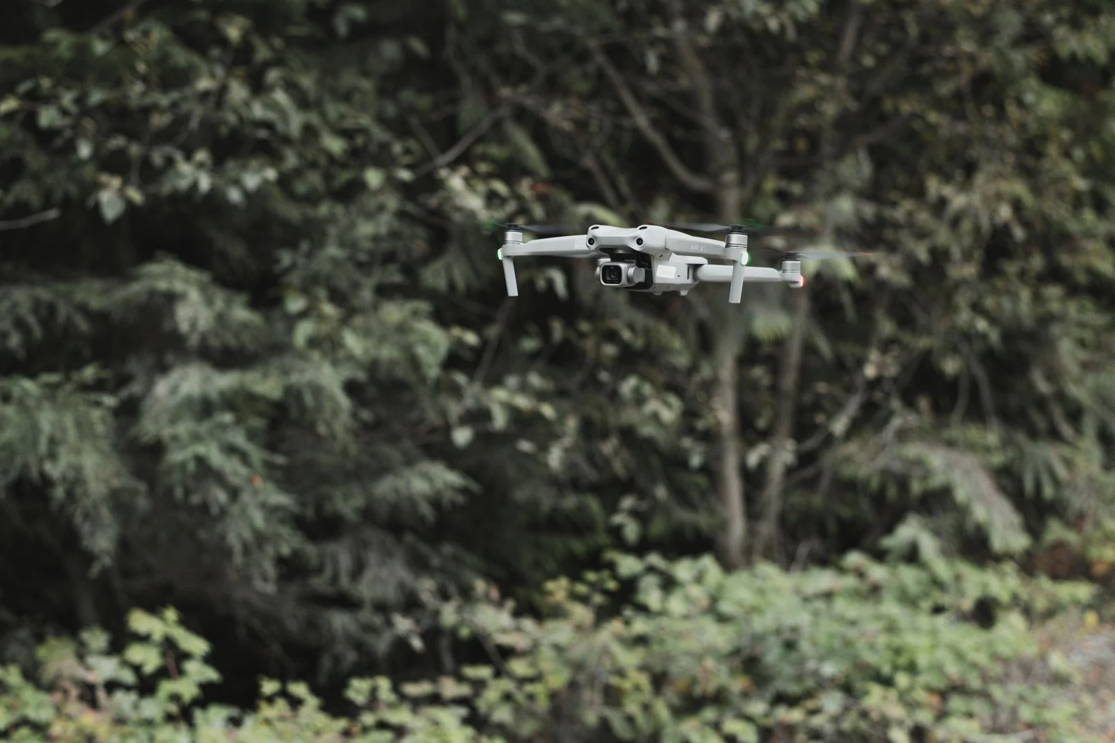
Development of recommendations on the use of unmanned aerial vehicles by institutions implementing Lithuania’s forest policy
An assessment of drone applications for public forestry institutions, covering technical requirements, economic effects and implementation options.
An assessment of drone applications for public forestry institutions, covering technical requirements, economic effects and implementation options.
Context & objectives
The study assessed how unmanned aerial vehicles (or drones) and remote sensing could support Lithuanian institutions implementing forest policy. Current processes such as inventory, damage assessment, forest regeneration checks, wildlife monitoring and inspection were examined with the goal of increasing the efficiency via remote sensing technologies.
Study objective
To conduct a scientific study and, on the basis of the analysis, develop recommendations for integrating unmanned aircraft into the functions performed by the institutions, in order to reduce operating costs, improve the efficiency with which those functions are performed and expand monitoring capabilities.
Approach
The study combined scientific and technical literature, an assessment of institutional functions and workflows, consultations with forestry experts and demonstrations of remote-sensing methods. It defined the data, sensor, flight-performance and processing requirements for different applications.
Technical assessment covered both commercially available equipment and specialised systems that could be developed given the state-of-the-art technologies available. Cost-and-benefit modelling compared in-house deployment, purchasing services and the use of shared, multifunctional drone systems.
Findings & recommendations
Applications were assessed for forest inventories, pest and disease detection (sanitary condition assessment), nursery and seed-orchard spraying, forest-health and fire monitoring, illegal-felling control, regeneration & habitat assessment, and wildlife population surveys. The report also considered area-wide mapping of forest stands, natural regeneration, fire risk and forest roads inventories using remote-sensing data.
Particularly promising benefits were identified for wildlife monitoring, pre-felling inventory and forest-health monitoring. The scale of benefits depends on equipment costs, area surveyed and whether better information reduces damage or saves staff time. Some applications mainly offer better evidence and safer working conditions. The report recommends task-specific systems and outsourcing services for infrequent tasks.
A UAV (drone) system type should be chosen depending on the task: for large-area inspections fixed-wing or hybrid systems out-perform multirotor drones with limited endurance.
Regular drone surveys could create a long-term record of forest condition and new research opportunities, extending their value beyond a single inspection.
Related study